MAROMIZAHA, MADAGASCAR
Maromizaha (18°57’ S – 19°00’ S, 48°26’ E – 48°31’ E) is located in the Alaotra-Mangoro region in eastern Madagascar. It is approximately 150 km east of Antananarivo in the municipality of Moramanga. Established as a Category VI Protected Area by the Ministry of Environment and Forests (MEF) in 2015, Maromizaha encompasses about 1,880 ha of rainforest, currently managed by GERP (Groupe d’Etude et de Recherche sur les Primates de Madagascar).
Maromizaha lies within the Ankeniheny-Zahamena Corridor that connects the last northern and southern rainforest parcels in Madagascar. Protection of Maromizaha is vital as it contains habitat essential for the long-term survival of diverse species.
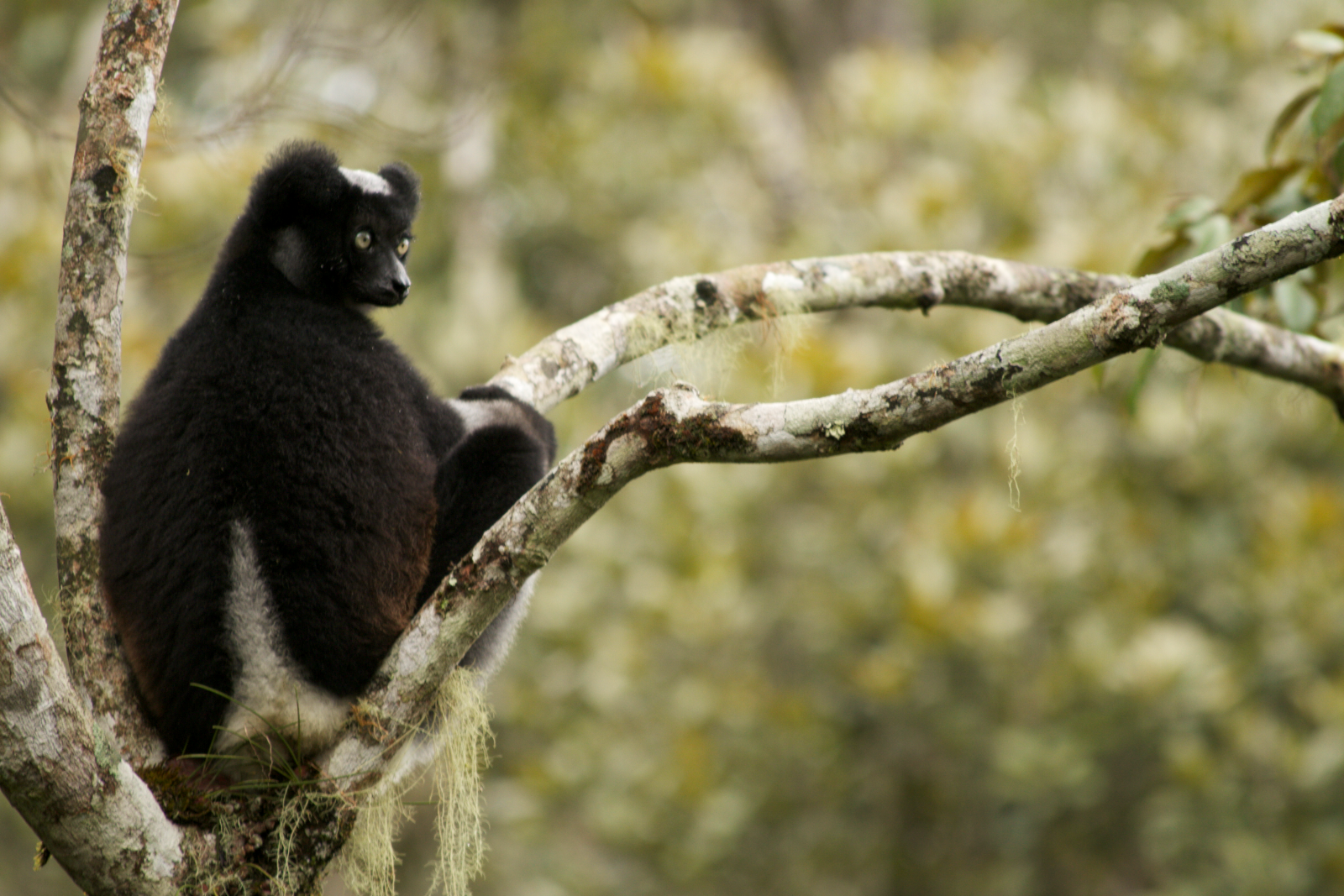
Known as the “Forest of the Dragon Tree”, Maromizaha harbors a wealth of flora and fauna. Its conservation flagship species include 13 lemurs, three of which – the indri (Indri indri), the diademed sifaka (Propithecus diadema) and the southern black-and-white ruffed lemur (Varecia variegata editorum) – are considered Critically Endangered (IUCN Red List).

MAROMIZAHA WEATHER

Location: Maromizaha Protected Area, Madagascar
Monitoring Period: April 1, 2017 – March 30, 2018
Total annual precipitation: 3380.6 mm/133.1 in
Monthly average temperature: 17.5° C/63.5° F
Minimum temperature: 5.5° C/41.9° F (July)
Maximum temperature: 28.7° C/83.7° F (January)

CITING THE WEATHER DATA
To cite these data, users are advised to follow the format suggested below:
Within the text use “…LVDI International (2018)…” or “…( LVDI International 2018)…”.
In a bibliography or reference list, the above would be cited in full as follows:
LVDI International 2018. Madagascar Maromizaha Protected Area Weather Data. <https://lvdiinternational.org/>. Downloaded on [insert date here].
